What You Receive
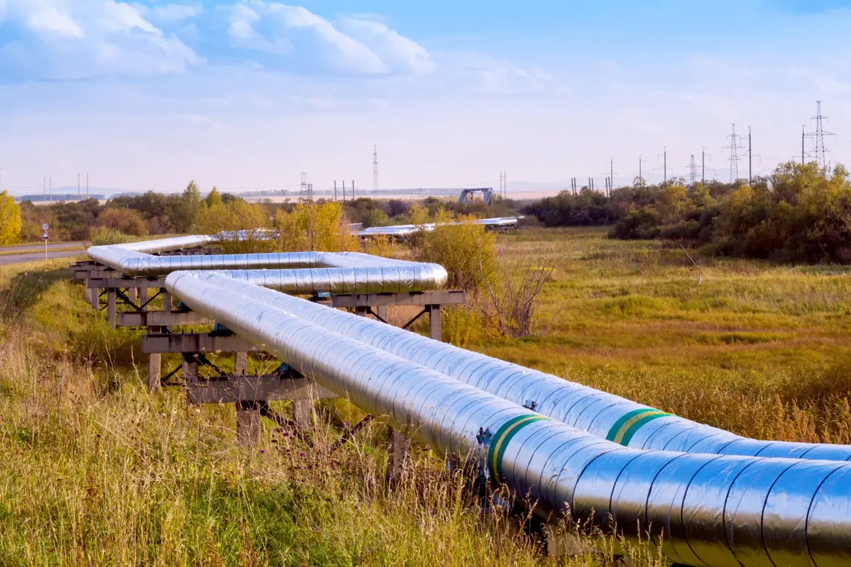
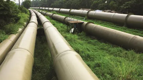
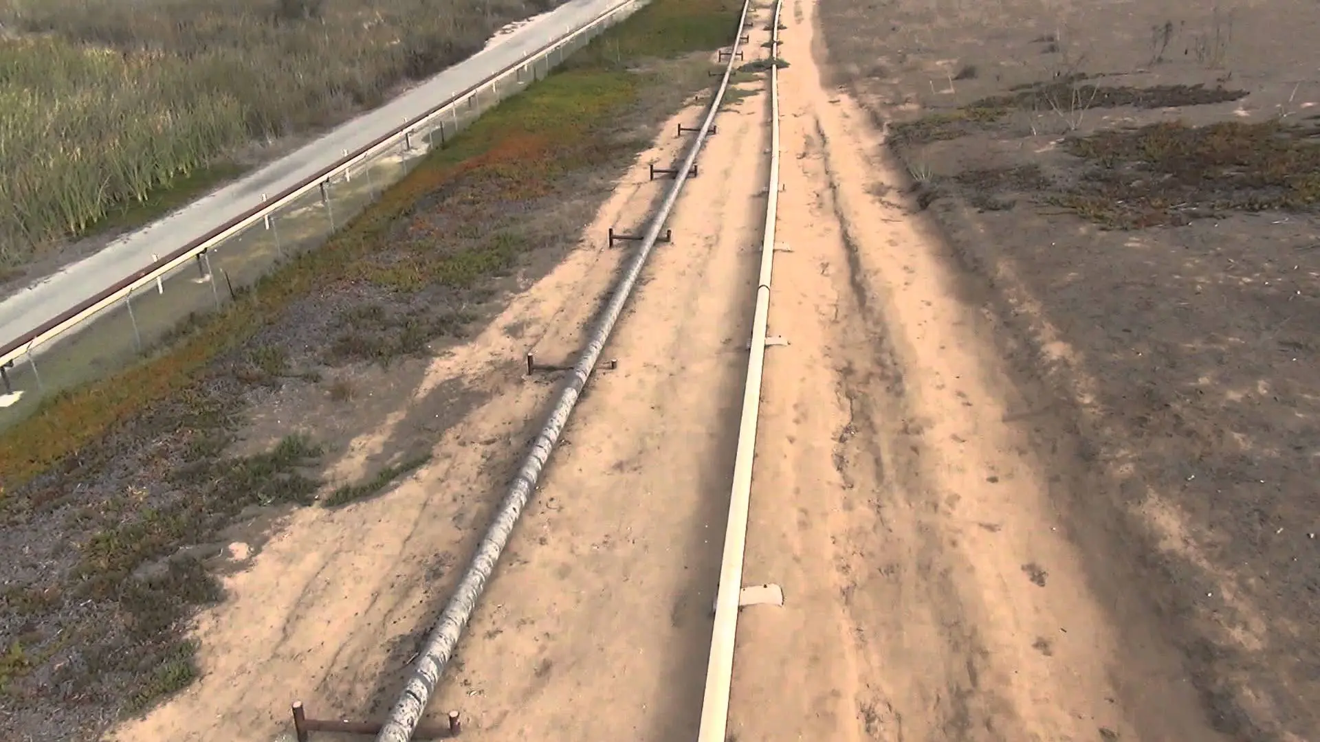
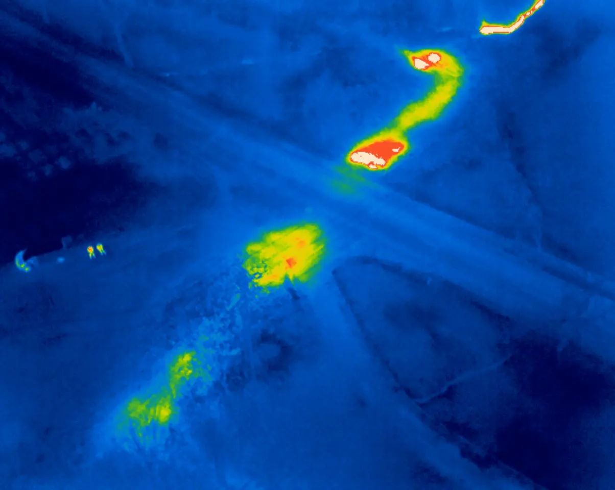
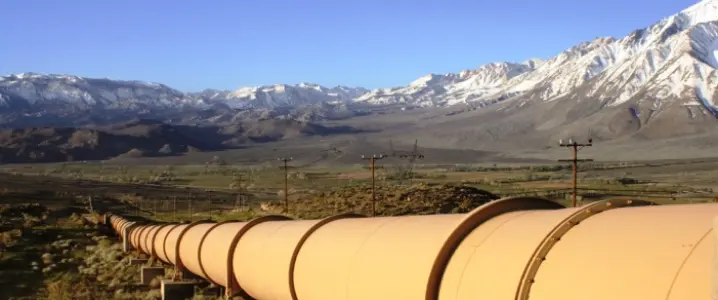
Drone Solutions LLC captures high-resolution aerial imagery of your oil and/or gas pipeline so you can observe and assess the condition of the pipeline in more detail than ever before. Drone Solutions LLC can also capture infrared imagery of your pipeline to help detect leaks.
Drone Solutions LLC can provide you with aerial 4K video flyovers of your pipeline so you can visually observe and assess its condition. Drone Solutions LLC can also upon request securely stream the video in real-time to your engineers at a remote location.
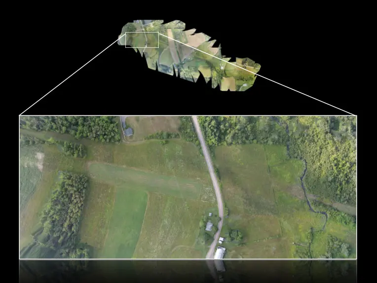
Drone Solutions LLC can produce interactive 2D maps and 3D models of your pipeline and its surrounding environment and make them securely accessible to you online.
How It Works

1. Request a Drone Mission
Online or by Phone

2. Our Certified and Insured
Pilots Do The Flying
3. We Deliver Your Aerial
Content Digitally
Frequently Asked Questions
You can request an estimate for our pricing on the “Request a Drone Mission” page, you will receive a quote, call or email within 24 hours to further discuss your request. Call us any time.
Drone Solutions LLC maintains a fleet of drones each for a specific function. For windmill inspection we use the DJI Matrice 300 with proprietary LiDAR mounted gathering hardware and compatible software.
This depends on a lot of different aspects of drone flight and gathering techniques to include; accuracy, detail desired, technology used, budget, and terrain. We will include a timeline in all quotes, however 200 Acres a day is a good rough starting point.
You will receive full access to the data through the data provider you choose. If you use Thread’s UNITI, access is immediate and within days for a full report.
If there is bad/inclement weather on the date of the drone mission, we will contact you to reschedule the drone mission. Rescheduling due to bad/inclement weather is free.
Yes. Every Drone Solutions LLC., pilot has received their FAA certification to fly drones throughout the U.S. Drone Solutions LLC., has a $2 million dollar UAV/drone liability insurance policy. Each Drone Solutions LLC., pilot also has their own UAV/drone liability insurance policy of at least $2 million dollars whenever they operate and this can be adjusted per your companies requirements. All Drone Solutions LLC., pilots have passed a background check which includes a criminal-record background check, so you can rest assured Drone Solutions LLC pilots are experienced, insured & safe.
Drone Solutions LLC., accepts all major payment methods, check or ACH Bank transfer is free. There will be a 2% fee for Credit and Debit cards. At our discretion, we will accept offline payment from businesses via mailed business check on net 30 payment terms.
Drone Solutions LLC., maintains the security to the level you request and will perform routine audits and checks on our infrastructure and security. All files hosted by Drone Solutions LLC., can be fully encrypted while in transit and while at rest when requested.


 All files are securely hosted by Drone Solutions LLC . Your files are encrypted with bank-grade AES 256 bit encryption while in transit and at rest.
 Receive ultra high-definition 4K video of your pipeline at various angles to see the condition of the pipeline and supporting equipment and infrastructure in vivid detail.
 Detect hotspots and leaks with our infrared drone cameras and never miss a detail with close up aerial imagery of your pipeline, equipment & infrastructure with our aerial 30x zoom camera.
 Assess the condition of your pipeline and infrastructure more quickly and efficiently with crystal-clear photos and video footage. Reduce costs by eliminating the need for using manned helicopters or airplanes.
 Drone Solutions LLC can securely stream the drone’s video feed to you providing a real-time view of the pipeline. Drone Solutions LLC can also produce 3D models & 2D orthomosaic maps of the pipeline and its surrounding environment.
